By Scott Shephard
I have read that 75% of the Earth's surface is water. South Dakota, however, is not representative of that statistic: we have much more land than water. There are some places, though, where you might think otherwise. I live in one of them. It is called the "Glacial Lakes Region." One the the principals I worked for at Watertown High School, who was from Minnesota (where they apparently have 10,000 deep lakes), referred to these lakes as "prairie pot holes." I remember being offended by this. But given that there are countless fairly small and shallow bodies of water in this area, I suppose he was right.
As you drive along the highways in my part of the state, you might not realize that you are often surrounded by water. It's only when you get above ground level, that you see the composition of the landscape.
In the case of this farm, though, the water is clearly visible from the highway. In fact the road is a bit of an isthmus that runs though this water. And obviously, the water hasn't always been here.
Global warming? Noah's flood?
"1997" might be a better answer, for that is the year of wide scale flooding in northeast South Dakota. And it is probably the year that many of the dormant "prairie potholes" filled with water.
Like so many abandoned relics like the one in this photo, I'd love to know the story. Maybe someone knows someone who knows? . . . .
Phantom 4 Pro 1/60s f/5.6 ISO200 8.8mm (35mm eq:24mm) (5 frame HDR composite)
Another View:

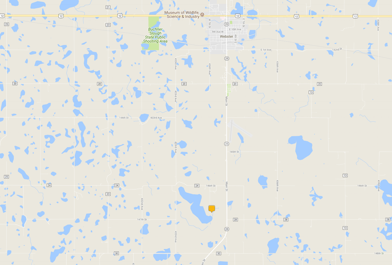
Here's what the map shows (though there is more water now than when the map was made: